These maps show fire danger (FD), thousand hour fuel moisture levels (TH), and hundred hour fuel moisture levels in the lower 48 states - courtesy of the USDA Forest Service Wildland Fire Assessment System. These are great maps that explain why we have burn bans in the urban/wildland interface.
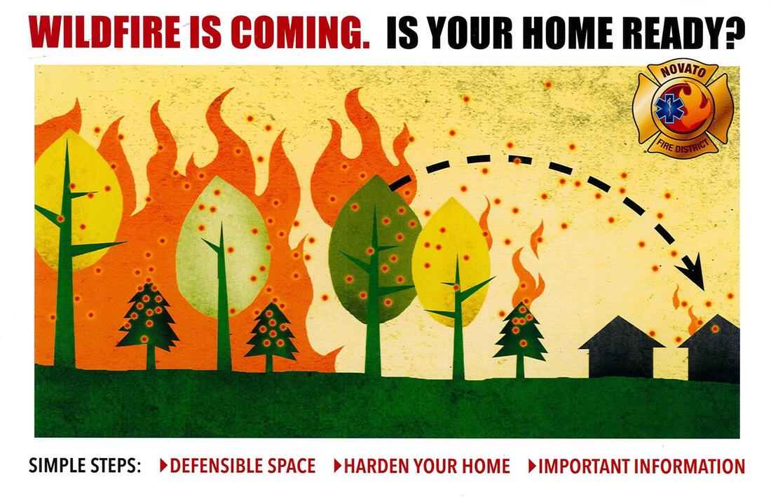
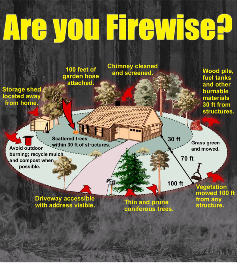
Firewise information from the Colorado Springs Fire Department to provide residents an easy way to identify their home's wildfire risk and things they can do to reduce that risk. A must read for all who live in the urban/wildland interface!!